


UK heatwaves prompt strange behaviour. In recent hot weather, one man resorted to sipping a cocktail in a refreshing home-made wheelie-bin bath. Plainly Brits are not used to extreme heat. But neither are our buildings and cities.
"Listen… if I want to have a swim in my own bin, on the hottest day that we have ever had in England, I’m entitled to do so"
- @thehalalham on TikTok
Extreme heat, driven by climate change, is a growing risk to health, particularly in cities. Urban surfaces, building density, and reduced levels of shade send temperatures in cities 1-4°C higher than the countryside.
This has been termed the ‘urban heat island’ (UHI) effect. Understanding UHIs is important to mitigate the health risks they pose, such as heat stroke and an exacerbation of cardiovascular and respiratory diseases. At Frontier, we have used our satellite data science capabilities to map London’s temperature distribution and examine how UHIs hit the lowest income areas of London hardest.
London’s deprived heat islands
UHIs can be identified through thermal satellite data, using a process called remote sensing. Our remote sensing approach used NASA’s Landsat satellite imagery of London in summer 2023.
As chart 1 shows, different parts of the city can experience vastly different temperatures.

Source: Frontier analysis of NASA Landsat 8-9 data courtesy of the U.S. Geological Survey. Individual temperature figures are an average of the three summer days with lowest cloud cover (26 May, 7 & 15 September 2023).
Taking this data, we investigated the link between the urban heat and deprivation statistics (UK government deprivation data from 2019) and found a correlation between temperature and deprivation of 0.42. This moderate positive relationship indicates that areas with increased deprivation tend to experience higher temperatures.
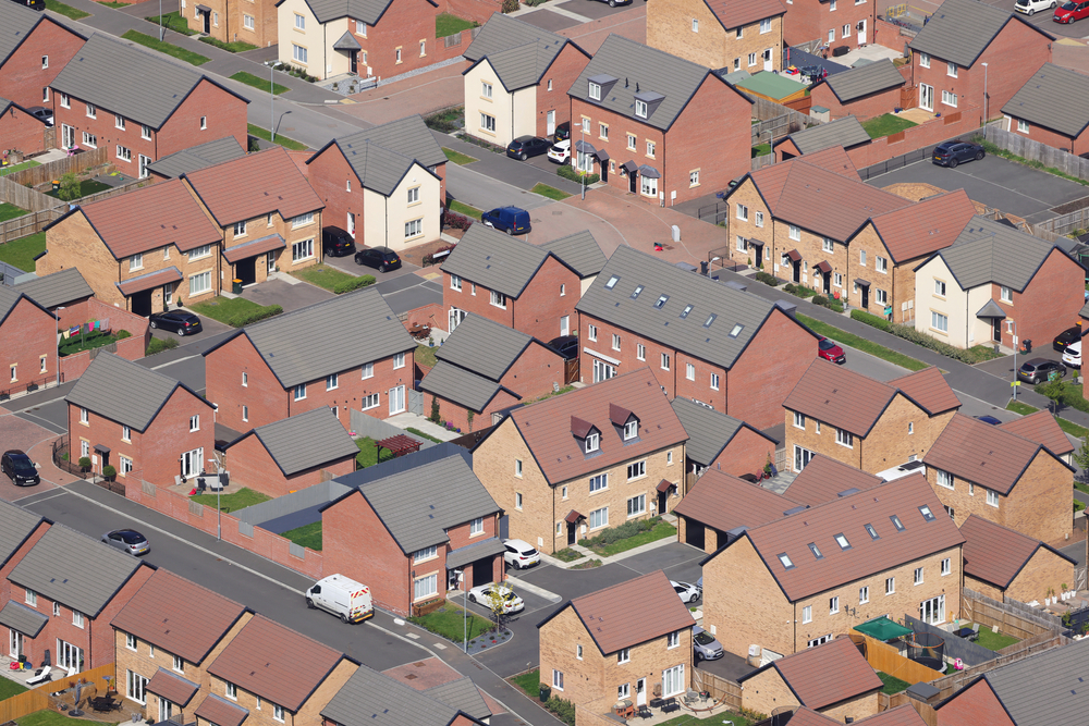
Indeed, the five most deprived neighbourhoods were on average 3.3°C hotter than the five least deprived neighbourhoods (defined by lower super authority area). This is unsurprising, given affluent areas tend to benefit from lower building density and more green space.
Interactive: Chart 2 below shows the relationship between deprivation and temperature at the borough level.
Sources: ONS Open Geography Portal, UK Department for Levelling Up, Housing & Communities and NASA Landsat 8-9
Interactive: Charts 3 and 4 map these boroughs’ deprivation and temperature. Though imperfect, the correlation is certainly visible when comparing the traditionally industrial, less affluent East London boroughs of Barking, Newham and Hackney, with the leafy and wealthier Richmond upon Thames in the south west.
Source: ONS Open Geography Portal, NASA Landsat 8-9
Sources: ONS Open Geography Portal, UK Department for Levelling Up, Housing & Communities
Cooling the heat for London’s poorer communities
It’s clear that UHIs are a significant and increasing problem that tend to disproportionately affect lower income communities. Without city adaption, future heatwaves will pose a large and growing risk to Londoner’s health and the burden on the NHS, with a disproportionate effect on those in lower income areas of the city.
City planners can take quick action to increase resilience to UHIs through policies such as urban greening, improved access to parks, and utilisation of better building materials. We must also reduce emissions and continue to progress towards net zero to prevent UHIs from dramatically worsening.
Broadcasting better understanding with satellite data
With Frontier’s satellite data capabilities, we will continue to analyse UHIs and expand to new satellite data sources. For example, a better understanding of UHIs could be helpful for electricity distribution networks, to predict air conditioning loads in city centres, as well as high temperatures which could degrade the performance of their assets.
These datasets could also be used by planners to target interventions such as the planting of trees to provide shade (an example of a nature-based solution, which provides a multitude of other benefits) or water companies to point predict where demand might be highest.
With advances in computer vision and deep learning, satellite data has the potential to target solutions in many other sectors including agriculture, energy, transportation, water, industrial production, and insurance.
For further information please contact hello@frontier-economics.com or call +44 (0) 20 7031 7000.
Authors

David joined Frontier in 2023 as our new Head of Data Science, bringing leadership to this important area of the business.
View profile
Based in London, Sim is a data scientist who joined Frontier in 2022. He works across Frontier's Competition, Data Science and Energy practices.
View profile